Port Information
Grundarfjörður is well known for its excellent natural harbour, which is the district’s lifeline. The entrance to the harbour in Grundarfjörður is secure and easily navigated.
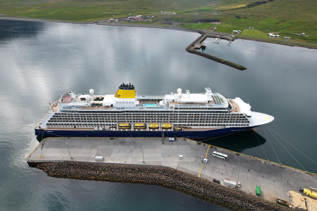
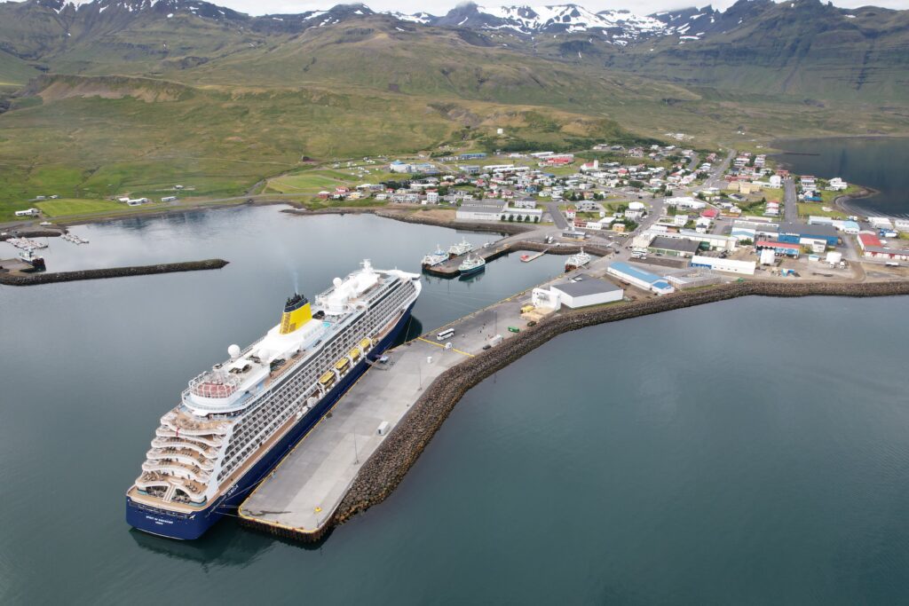
The depth at the main pier for ocean-going vessels is up to 9,5 metres at low tide with Berth nr 1 . The length of the main pier is 365 m and is capable of accommodating cruise ships of different sizes.
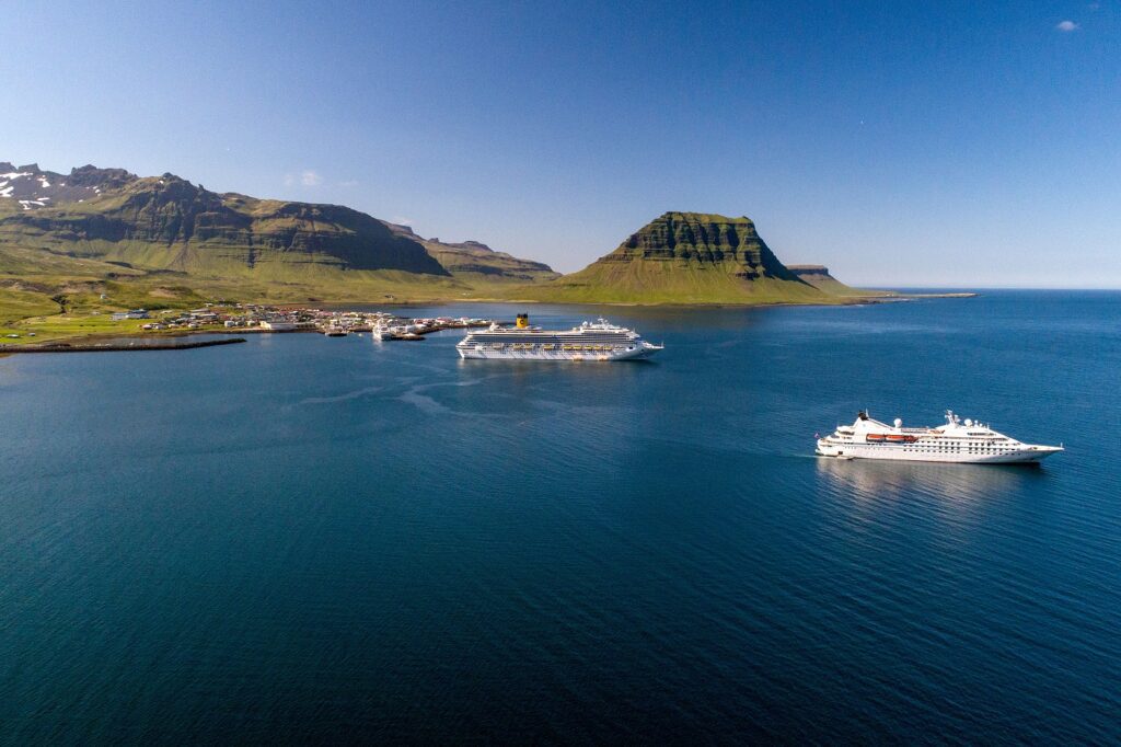
Anchoring in the fjord, when necessary, is not a problem, as there is a wide turning basin (1200m).
Tendering is very short from ancoring area to the tenderpier or: 0,4 nm
There is a wide range of services available to ships berthed here. Harbour security is in keeping with the ISPS code of IMO regulations and has been officially approved.
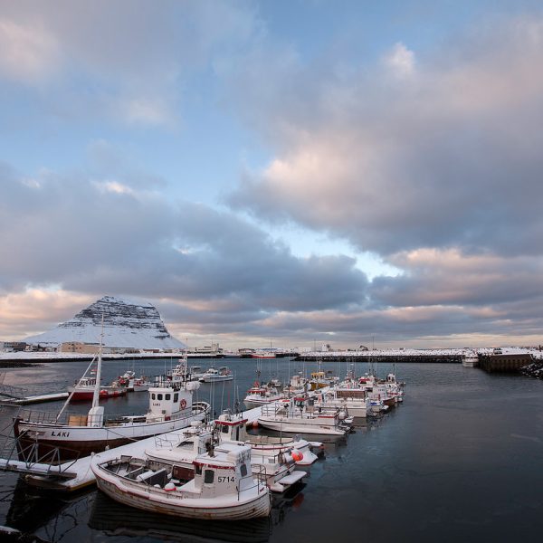
Tourism in Grundarfjörður is still largely an untapped market, despite the many activities available in and around the town. There is a local tourist service provider in town and bigger tour operators from Reykjavík also provide various organized tours for cruise ship passengers. Grundarfjörður offers easy access to both the Snæfellsnes peninsula and west Iceland, combining the breathtaking natural beauty of the peninsula with the rich cultural heritage of the whole of west Iceland.
Things to do in Grundarfjörður
The Snæfellsnes glacier is a magnificent attraction, as is the wonderful bird life in the area. Points of historical and cultural interest are dotted all over the peninsula, with The Eyrbyggja Heritage Centre in Grundarfjörður, the Norwegian House in Stykkishólmur, Bjarnarhöfn shark-curing farm and the ECO-tours from Brekkubær at Hellnar, being just a few examples. The major west Iceland historical sights of Eiriksstaðir and Reykholt/Snorrastofa are also within driving distance from Grundarfjörður.
The people on the peninsula are friendly and happy to receive visitors.
Name of Harbour Master: …………………….. Hafsteinn Garðarsson
Telephone:………………………………………………+354 8611033 +354 4386705 +354 8631033
Call VHF: ………………………………………………….Channel 12
E-mail: ……………………………………………………..hofn@grundarfjordur.is
Location: …………………………………………………Latitude 64° 55’ 6, longitude 23°15’1
Name of Pier:
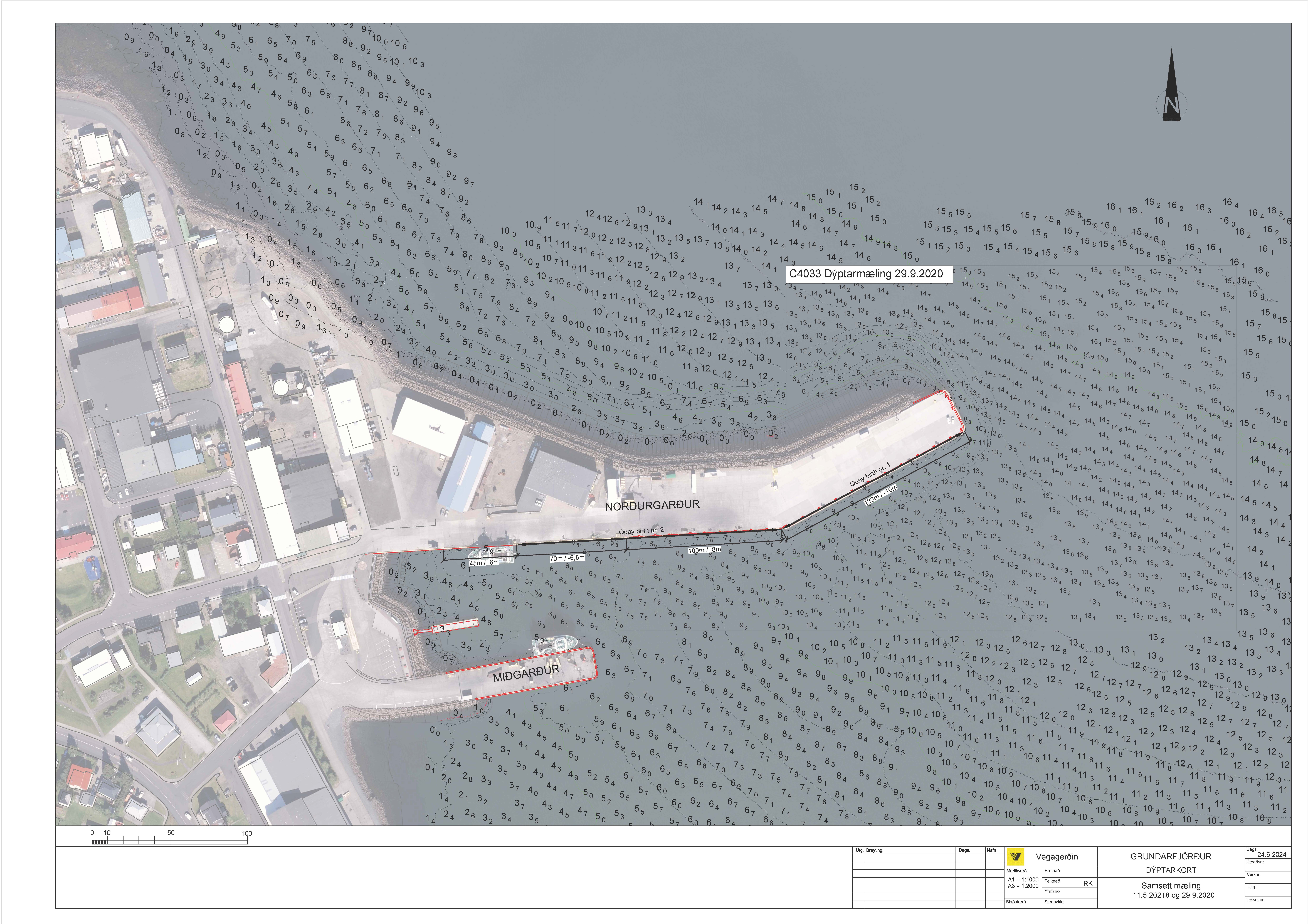
Nordurgarður 1: : Berth No 1 1s 135 meters ,with 9,5 meters depth on lowest tide
Nordurgardur 2: : Berth No 2 is 220 meters , with 8,0 meters depth at first 100 meters and then 6,5 meters at lowest tide.
Width of pier : ……………………….. 40 m
Height of Pier:
Above Water at Low Tide: ………………… 6 m (19.68 ft)
Above Water at High Tide: ……………….. 2 m ( 6.56 ft)
Depth of Water at Low Tid………………….6,5 m (21.3 ft) 8,0 m at first 100 m
Tidal Difference: ………….4 M (13.1 ft)
Turning Basin: …………….2 M (3936 ft)
Type of Fenders: …………Tires
Big fenders :………………..Available
Strength of Bollards:
Nordurgardur Berth no 1 is 100 and 50 max.pull/ton and storm pollard 200 pull/ton 12 meters between pollards .
Nordurgardur Berth no 2 is 50 max. pull/ton 10 meters between pollards .
Security Zone: ………………………….. Docking area fenced off
Max. Ship Length Permitted:
Nordurgardur Berth no 1 .. 240 m
Nordurgardur Berth no 2 .. 170 m
Distance of Pier from Town Centre: …………………… 500 m
Anchorage Position: …………………………………………….Latitude 64°55’8; longitude 23°14’
Distance from Anchorage to Tender Dock: ………….0.5 n.m
Name of Tender Dock: …………………………………………Midgardur Floating
Length of Tender Dock: ………………………………………..30 m Width 4 m
Type of Tender Dock: ……………………………………………Floating (concrete and wood)
Height of Tender Dock above water at low tide: ……0,3 m (0,98 ft)
Depth of Water at Low Tide: ………………………………… 4 m
Fresh Water connection
International connections up to 2,5 inches, bearth no 1. and bearth no 2 have 3 each.
Pilot information.
Location of Pilot Station: ..Latitude 65°00N longitude 23°30W
Distance of Pilot Station to Pier/Anchorage: …………. 7 n.m.
Pilotage is Not compulsory in Grundarfjördur.
Duration of Pilotage: …………………………………………….. 45 minutes
Pilotage Availability: …………………………………………….. 24 hours
No. of Pilots Available: …………………………………………. 24
Harbour Webcam
Map of Grundarfjörður


